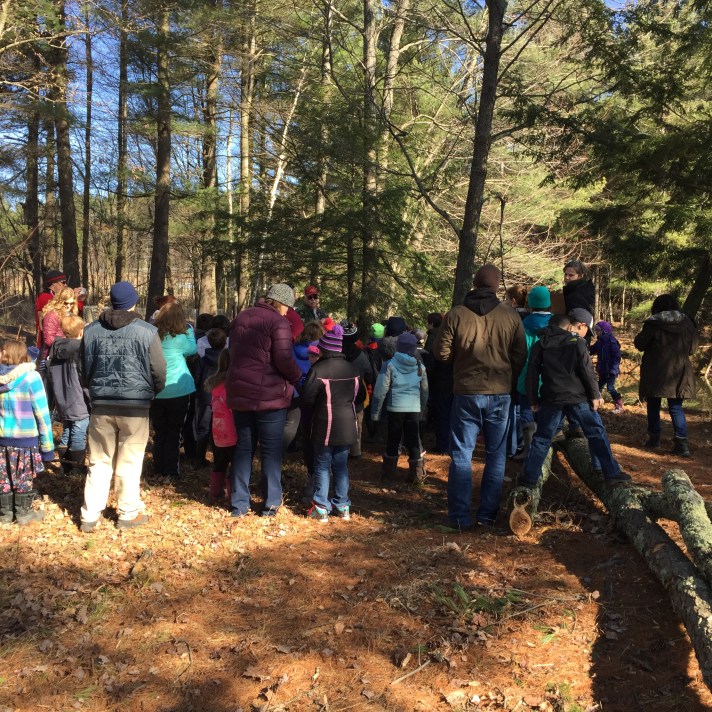
Recently, all of the 2nd grade classes took on a project to map a local Georgia community resource: Deer Brook Recreational Path. This 44 acre forest and wetland is a Russell Greene Natural area located off Route 104A.
After learning about the land formations and environmental factors, the students took a field trip to recreational path to explore the wildlife and landforms it had to offer. While there, students documented in journals areas of interest.
Next, students learned about Global Positioning Systems (GPS) technology. Students used GPS receivers to locate waypoints at their school. After learning how to navigate with GPS receivers, the students then learned how to use the GPS units to mark waypoints at the school.
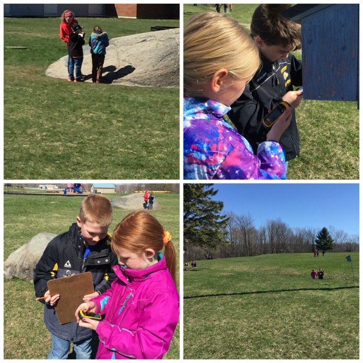
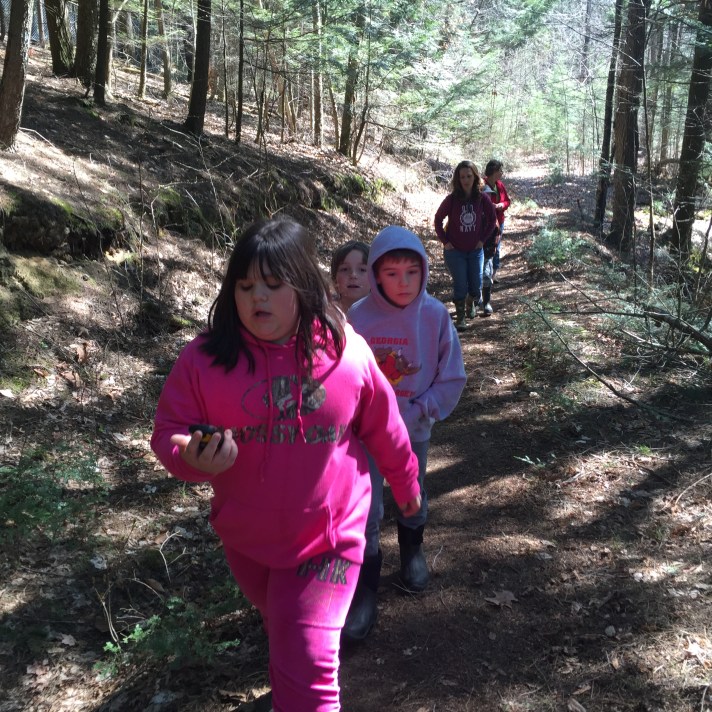
Students then revisited the Deer Brook recreational area to use the GPS receivers to mark waypoints of interest along the path. At each waypoint, students documented the location and elevation as well as photographed the area.
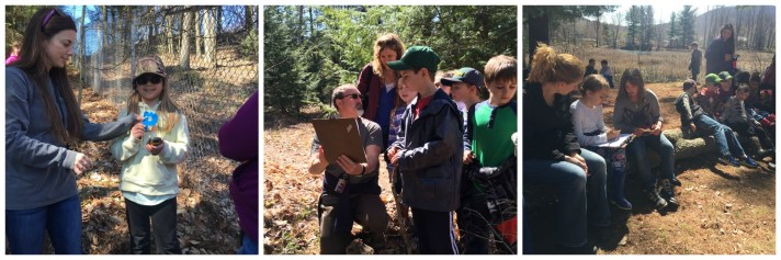
All of the waypoints, documentation and photograph are being compiled into a map that will be published and shared with the community.
Target 3. Flexible Learning Environments: FWSU maximizes flexible learning environments by redefining the school day, promoting learning experiences that extend beyond the classroom, and fostering creativity, innovation, and personalized learning opportunities for all.
Action Step 3: Develop opportunities for students to demonstrate transferable skills in authentic settings.
Indicator of Success: Flexible learning environments are the context for collaboration and extend beyond the classroom.
