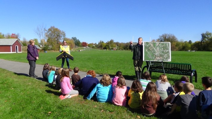
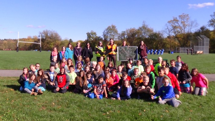
Recently, the BFA Innovation Lab students in grades 3, 4 and 5, participated in the University of Vermont Spatial Analysis Laboratory (UVM SAL) using unmanned aerial vehicles (AUVs) in their community. Students were able to observe drones completing a 3D flyover of the village of Fairfax.

The students were then able to use the data collected to design ideas on developing a redesign plan of the Fairfax community.
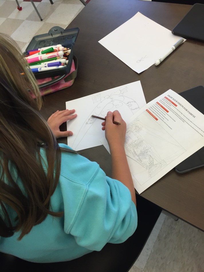
This study was a powerful, authentic learning opportunity the students. They LOVED having the opportunity to weigh in with their ideas on how they can improve the town they live in and travel through every day.

As discussed in their blog, “Drones are a great way to get Vermont children excited about technology and the environment,” said Jarlath O’Neil-Dunne, director of the SAL. “It is even more of a bonus that planners will use our data to help revitalize our communities. We are grateful to AmericaView for funding these efforts.”
You can learn more about UVM’s and Vermont School Children Learn to Map Communities Using Drones in this blogpost written by UVM’s Rubenstein School of Environment and Natural Resources Blog.
Target 4. Engaged Community Partners: FWSU staff and students engage in authentic learning opportunities with local, regional, state, and global partners to make a difference in their community, state, and world.
Action Step: Plan and manage instruction to address problems relevant to students and their community; design and present solutions to authentic audiences
