
Yesterday, 4th grade students took their learning outside at Niquette Bay State Park located near Colchester, Vermont.

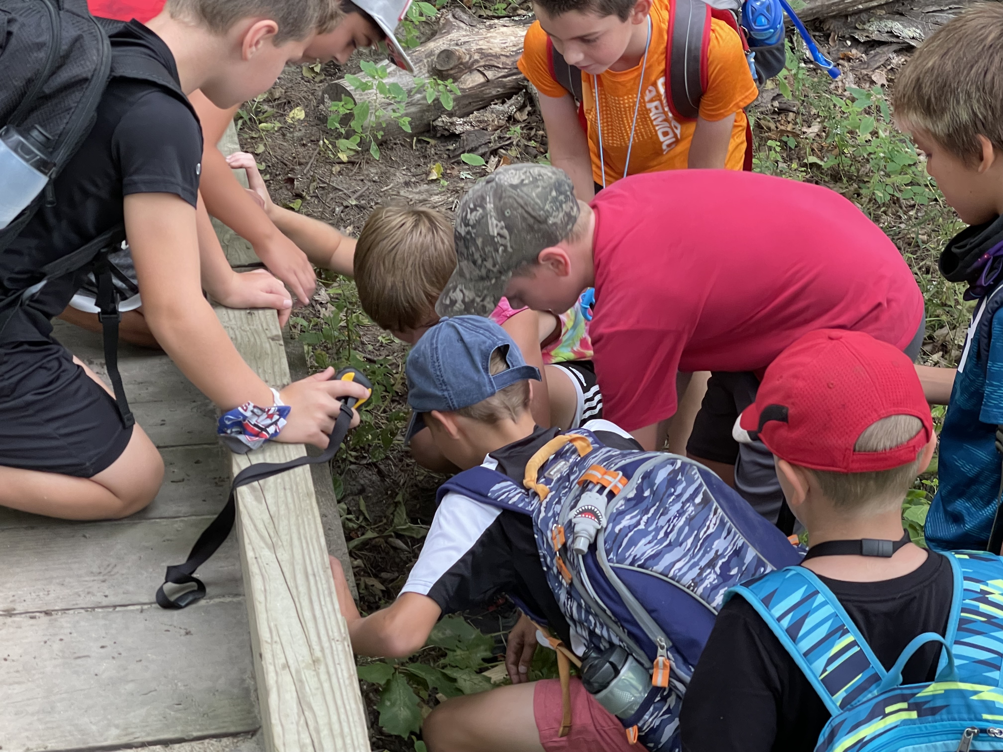
Prior to their visit, the students have been learning the math and science of how Global Positioning Systems (GPS) technology works. They then applied this knowledge to learn how to navigate using the technology in order to participate in geocaching activities.
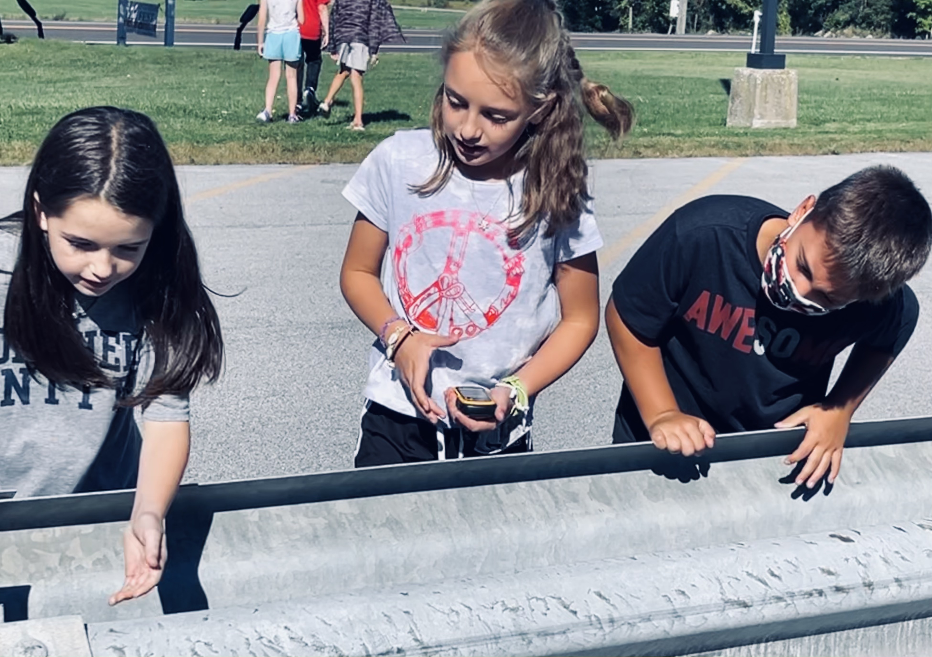
Geocaching encourages kids to explore the outside world around them and also offers lessons on how maps work, geography, and estimation. Kids search for geocaches by using GPS receivers to located the assigned waypoints (latitude and longitude) This type of exploration prompts discussions on creating graphs, measuring distances, and other math concepts as well as the geographical lessons.

As a culminating activity, students explored the real world use of GPS receivers in a local state park. Students persevered and used their problem solving skills to take on the challenge of finding hidden containers along established trails.
Now that these students have learned how to find geocaches using GPS, the next task will be creating them developing their innovative design skills.


Angelique Fairbrother is the Digital Learning Coach at Franklin West Supervisory Union. She is a regular contributor to THE FWSU STORY. You can follow her on Twitter @FWSUtech.
